Kenya launches spatial planning guidelines and toolkits for pastoral areas

The Kenya National Land Commission has officially launched the ‘Annex to the county spatial planning guidelines and toolkits’ to guide land use planning in pastoral areas (photo credit: NLC).
The Kenya National Land Commission (NLC) has officially launched the Annex to the county spatial planning guidelines and toolkits to aid in planning for pastoral areas. The annex and toolkits are expected to play a key role in guiding county governments to develop effective land use plans that provide a strategic direction for the counties, strengthen community land rights, and provide a framework for supporting sustainable livestock production in Kenya’s vast rangelands.
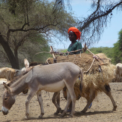
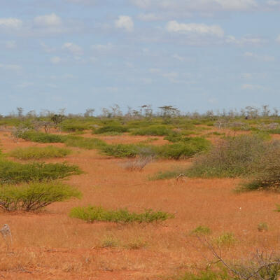
These materials come at a crucial time when competing land uses have continuously increased in the recent past, calling for special strategies to be put in place to benefit pastoralists and protect rangelands. Conflicting land uses coupled with poor land tenure security, the erosion of traditional land and resource governance systems, drought, and lack of adequate investment are part of the burdens inflicted on pastoralists who make a living out of the rangelands.
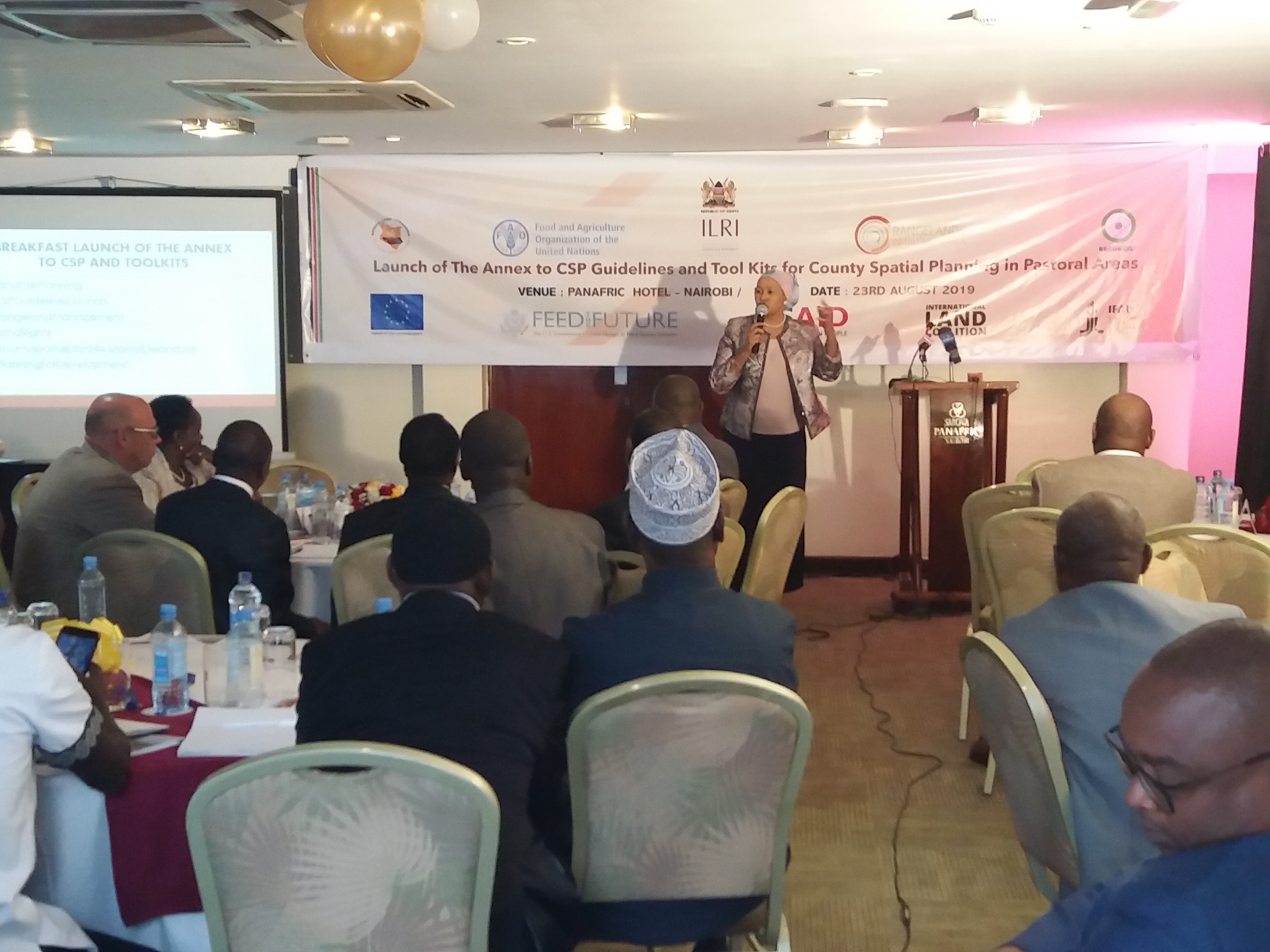
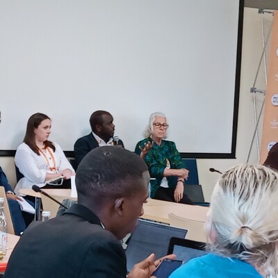
County officials at the meeting received copies of the CSPs and toolkits (photo credit: ILRI/ Judy Kimani).
The NLC chief executive officer, Kabale Tache Arero, said that ‘pastoral areas have immense natural, sociocultural and economic resources with potential to spur development to great heights.’ She added that ‘the use of the County Spatial Plans (CSPs) can go a long way in unlocking the development potential of these regions by addressing the key challenges faced in rangelands due to lack of planning’.
The CSPs are a requirement provided for in the County Governments Act of 2012. They are designed to inform the principles and matters of county planning as contained in section 102 and 103 of the same act. They are intended to be the foundation of a land use management system in each county, taking into consideration all segments of the county’s population and all sectors of its economy.
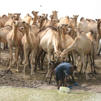
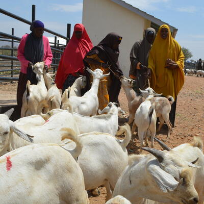
Among these are pastoralists and livestock production on the rangelands. Recent estimates indicate there are roughly 17 million cattle, 17 million sheep, 27 million goats and 3 million camels in Kenya, with the majority being in pastoral rangelands. The livestock sector employs about 50% of the agricultural workforce and about 90% of the workforce in the arid and semi-arid lands. As the key resource for the country’s livestock production, pastoral rangeland systems require protection and wise investment.
Sound planning on land use within the counties will provide a framework for resource use and protection. This will ensure their potential is harnessed for optimal gains to the residents as well as to the nation at large. Speaking during the launch in Nairobi in August 2019, Ambassador Hussein Dado, chief administrative secretary in the Ministry of Devolution and Arid and Semi-Arid Lands, said that to achieve this, collaboration with key partners must be cultivated and maintained.

ILRI senior scientist Lance Robinson speaking at the launch (photo credit: ILRI/ Judy Kimani).
The International Livestock Research Institute (ILRI) has been a key partner in laying the groundwork for counties to develop their CSPs. ILRI senior scientist Lance Robinson contributed vastly to the CSP development owing to his experience working with the pastoral communities in Kenya and other African countries. Robinson, however, notes that county development agendas may not be especially keen on financing ‘plans’ as compared to ‘tangible’ development projects.
He recommends the CSPs be viewed in light of their potential to address the challenges continuously posed to the rangelands as this also spurs development with lifelong impacts. ILRI’s research over the years on pastoralism, rangelands and environmental governance suggests that land use planning frameworks such as Kenya’s county spatial planning, have great potential for addressing the challenges and opportunities facing pastoral areas and becoming the backbone of an effective rangeland management system.
Now that the groundwork has been laid with the annex and toolkits, it remains for county governments and other development partners to pick them up and make the investment in producing forward-looking plans that unlock the high potential of Kenya’s dryland areas.
The CSPs annex and toolkits are available for download on the NLC website.
Read about ILRI research on planning and land governance in pastoral areas here:
- Transcending landscapes: Working across scales and levels in pastoralist rangeland governance.
- How landscape level governance and land use planning are connected: Insights from case studies in Marsabit, Isiolo and Makueni
- An evaluation of participatory rangeland management in Ethiopia: Its impact on land security and land use planning, rangeland governance and productivity.
- Spatial planning to spur rangeland-based development across northern Kenya’s ‘frontier counties’

