When numbers lie
Land surface temperature data from ILRI’s Kapiti Research Station’s validation towers are significantly warmer than expected, prompting concern.
Vast disparities in the number of instruments used to validate satellite climate sensors data have woefully underestimated the true peak temperatures of African rangelands, says Tom Dowling, a geographer and climate change scientist at King’s College, London. This means that scientists have probably been understating the impact that climate change will have on these regions and possibly throughout much of the Global South, where validation instruments are scarce.
Dowling led a team that built a land surface temperature validation site at the International Livestock Research Institute’s (ILRI) Kapiti Research Station in August 2018. He spoke about some of the lessons he’s learned since then with host Simon Clark on Brilliant, a YouTube science channel.
Validation stations compare the actual surface temperatures of a given region to the temperature imputed to it by climate satellites orbiting thousands of kilometres above. Those satellites register emissions at different points on the electromagnetic spectrum to calculate the likely land surface temperatures across vast regions of the earth. But to determine if these calculations are correct, scientists conduct validation tests ‘ground-truthing’ the calculations against actual, measured temperatures.
For practical reasons, most scientists tend to build stations near the universities where they are posted. Unfortunately, says Dowling, ‘if you look at a map of validation stations, you see that there over 50 stations in the United States, but only two in the continent of Africa’.
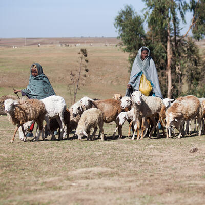
That disparity wouldn’t be problem except that different land surfaces reflect different amounts of heat. Think, for example, of how much more stifling it is to enter a black car parked under the summer sun than a white one. The difference in how much heat a surface reflects—in scientific terms, how good an object is at retaining or readmitting radiation in the thermal portion of the spectrum—is called ‘emissivity’. And it turns out that African rangelands like those where Kapiti is located are much more emissive than previously estimated—by as much as 20 degrees Celsius, Dowling says.
For Dowling, the lessons go beyond this specific case study. ‘Ultimately data like these inform government action or inaction on climate change’, he says. International agreements that simply assume that tropical and subtropical regions follow more or less the same pattern as North America or Western Europe can fail to pick up on important differences. ‘More than just data, we need expertise from places other than the developed world. We need to involve academics from host countries. I learned so much from local experts who know and work in area—I couldn’t have completed this work without them.’
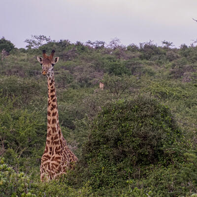
For more on the project, including how an amorous giraffe may have derailed the whole project, the entire YouTube video is here: https://www.youtube.com/watch?v=CZQTVvJaJLA

